
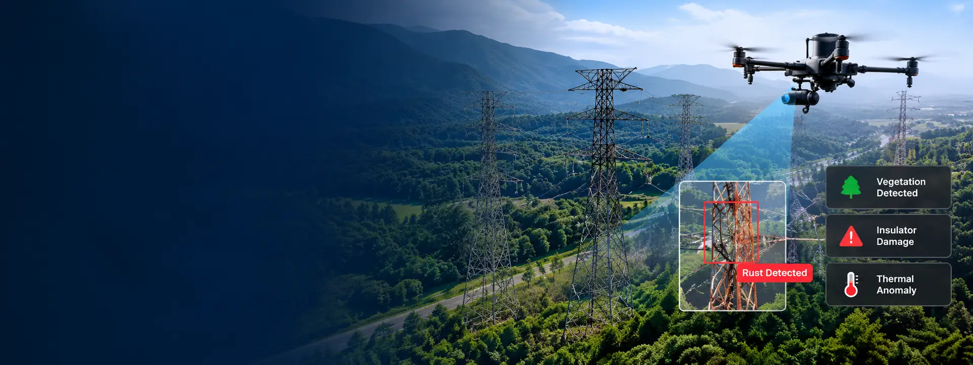
AI-powered drone inspection and GIS solutions to help utilities, government and enterprise organizations monitor, maintain and digitize critical infrastructure at scale.
Drone-Based Data Capture
High-resolution RGB and thermal imaging
AI-Powered Analysis
Detect defects, vegetation, thermal issues and more
GIS-Integrated Insights
Spatial analytics for better decision making
End-to-End Workflows
From data capture to maintenance execution
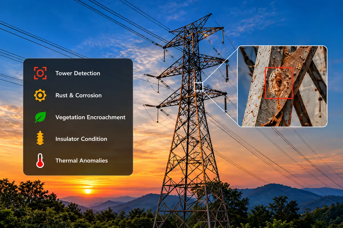
An advanced AI-driven platform to modernize the way utilities inspect and maintain transmission lines. Using drones, AI and GIS, we enable faster, safer and more accurate monitoring with actionable insights.
Rust, corrosion, vegetation, insulator damage and more
Visualize, analyze and manage all inspection data
Offline-capable apps for inspection and maintenance
Designed for utilities, PSUs and large infrastructure networks
Our GIS solutions help organizations plan, monitor and manage infrastructure and assets with accurate spatial data, interactive maps and advanced analytics.
Explore GIS Solutions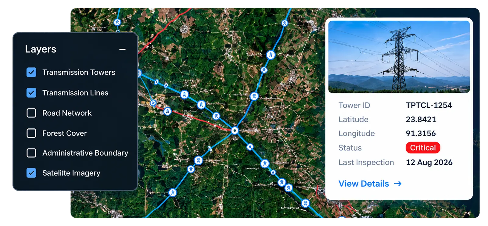
Talk to our team to understand how our AI, Drone and GIS solutions can help your organization.